GIS Mapping For Fire Professionals
Help fire departments find your pool water resource during an emergency
Register Your Property
What Is GIS Mapping?
Geographic Information System (GIS) mapping provides fire departments with real-time info to make critical decisions during fire emergencies. Our platform integrates live mapping data with water resource locations for fire departments.

FireFighter1™ GIS Mapping Features
GIS for Fire Professionals
Our mapping pins integrate with GIS mapping providing first responders with water resource type, capacity, coordinates, pump instructions and vital property information you can choose to provide.
Google Earth Public Database
Basic public information for FireFighter1™ owners to know how much of their community is protected and which areas need more protection.
Community Preparation
We need to work together within our communities to prepare for wildfire. Providing fire professionals with water resource information can save a neighborhood.
How It Works
1
Purchase FireFighter1™
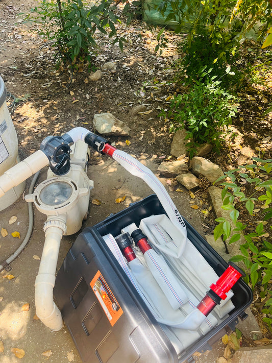
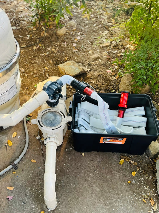
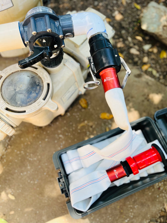
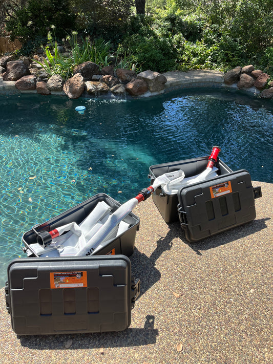
Your system ships ready to install on your existing pool pump.
2
Register Your Property
After purchase, you will be sent information on how to register.
3
Add Your Details
Provide property information, gate codes, pump instructions, water capacity, and any notes for first responders.
4
Fire Departments Can Find You
Your pool water resource is now visible to fire professionals in your area, with instruction on how they can use it.
Public Google Earth Database
Who GIS Mapping Is For

Fire Departments
You can choose to provide information on Google Maps and/or our GIS Maps with more in-depth property details available to your local fire departments and state officials.

Emergency Managers
Coordinate multi-agency response & manage resources across jurisdictions. Help inform fire professionals of resources available for faster & safer decisions.

Homeowners in Fire Zones
Keeping the community informed with live fire notifications, access to fire defense resources & evacuation routes will keep us all safer from fire.
Get Your FireFighter1™, Then Get on the Map.
-
100ft FireFighter1™ Pool-Fed Fire Hose - 50/50 System
Regular price From $569.00 USDRegular priceUnit price per$599.00 USDSale price From $569.00 USDSale -
100ft FireFighter1™ Pool-Fed Fire Hose System
Regular price From $519.00 USDRegular priceUnit price per -
50ft FireFighter1™ Pool-Fed Fire Hose System
Regular price From $429.00 USDRegular priceUnit price per$499.00 USDSale price From $429.00 USDSale -
100ft FireFighter1™ Extension
Regular price $389.00 USDRegular priceUnit price per