


Mapped to Save Lives: FireFighter1™’s New GIS & Google Integration.
As wildfire seasons grow longer, faster, and more unpredictable, one reality has become impossible to ignore: access to water is everything. Across the United States, millions of homes sit within or near fire-prone areas, yet the resources needed to defend them; hydrants, trucks, and trained personnel, are often stretched beyond capacity when large-scale events unfold. In these critical moments, the difference between containment and catastrophe can come down to seconds; and more importantly, to water access.
FireFighter1™ was built on a simple but powerful idea: homeowners already have one of the most valuable firefighting resources available—their pool. Now, with the introduction of FireFighter1™’s Google Map and GIS mapping integration, that resource is no longer hidden. It is visible, locatable, and actionable for fire departments when they need it most.
This innovation is not just a feature. It is a shift in how communities and fire professionals work together to fight fires.
Check FF1’s Map of Installed Systems.

Unlocking a Hidden Resource: Why Mapping Pools Matters.
A standard residential swimming pool typically contains between 10,000 and 25,000 gallons of water. To put that into perspective, a single fire engine usually carries between 500 and 1,000 gallons. That means one backyard pool has the potential to refill a fire truck 10 to 30 times.
Yet historically, this massive water supply has remained largely untapped during emergencies; not because it lacks value, but because it lacks visibility.
During fast-moving fires, especially in wildland-urban interface zones, hydrants can fail, lose pressure, run dry or become inaccessible due to road closures or debris. In some cases, fire crews are forced to search for alternative water sources while time is slipping away. The ability to immediately identify nearby pools can drastically improve response efficiency.
FireFighter1™’s new mapping integration addresses this exact gap. By registering FF1-equipped properties on both GIS systems and Google Maps, fire departments gain instant awareness of available water sources, before they even arrive on scene. Additionally, property owners can provide fire professionals instructions on entering their property, gate codes, animals to be aware of, pool pump instructions and other important property information.
Dual Mapping: GIS + Google Maps Integration.
Fire departments rely heavily on Geographic Information System (GIS) mapping to locate critical infrastructure, including hydrants, water tanks, and other emergency resources. These systems are standardized, authorized, and embedded into emergency response protocols.
However, real-world firefighting is dynamic. While en route or actively responding, many fire professionals also turn to widely accessible tools like Google Maps and Google Earth to quickly assess surroundings, identify terrain challenges, or locate additional resources.
FireFighter1™ bridges both worlds.
By integrating with official GIS mapping systems and supplementing visibility through Google Maps, FireFighter1™ ensures that no matter how a firefighter is navigating a situation, through dispatch systems or real-time field decisions, your pool and your FireFighter1™ system can be found easily.
This dual-layer visibility significantly increases the likelihood that your property becomes part of the solution during an emergency.
Real-World Challenges Demand Real-World Solutions.
In recent wildfire events, including the devastating Los Angeles fires, communities witnessed firsthand how quickly resources can become overwhelmed. Reports of low or depleted hydrants, delayed response times, and inaccessible roadways highlighted a critical truth: centralized systems alone are not enough.
Fires do not wait for ideal conditions. They spread through embers, wind, and dry fuel, often reaching areas where fire trucks cannot easily position themselves. In many residential layouts, particularly those with long driveways or rear-facing yards, accessing a fire from the street can be difficult or inefficient.
This is where FireFighter1™ changes the equation!
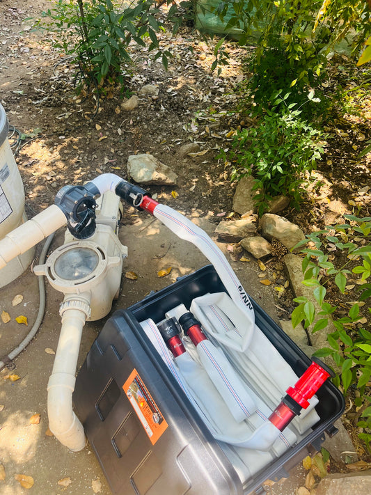
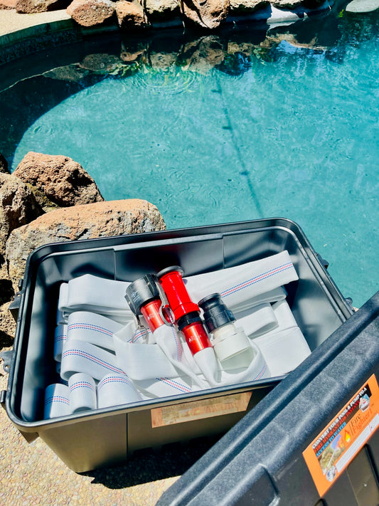
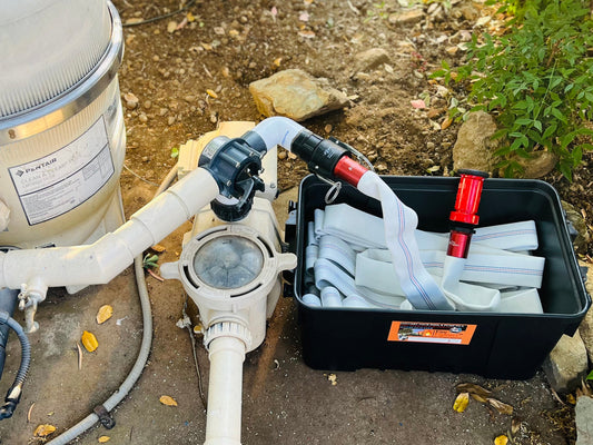
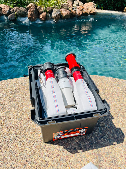
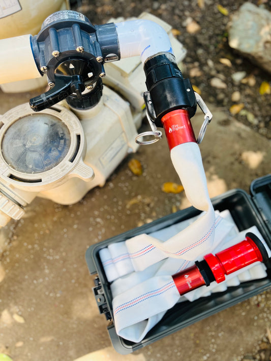
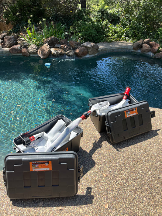
By enabling direct access to pool water through a high-performance hose system, homeowners, and fire professionals, can attack fires from the most effective angles. Backyard access, fence lines, and vulnerable exterior zones become immediately defendable.
When mapped and visible, these systems transform from private tools into community-wide assets.
How the FireFighter1™ Mapping System Works.
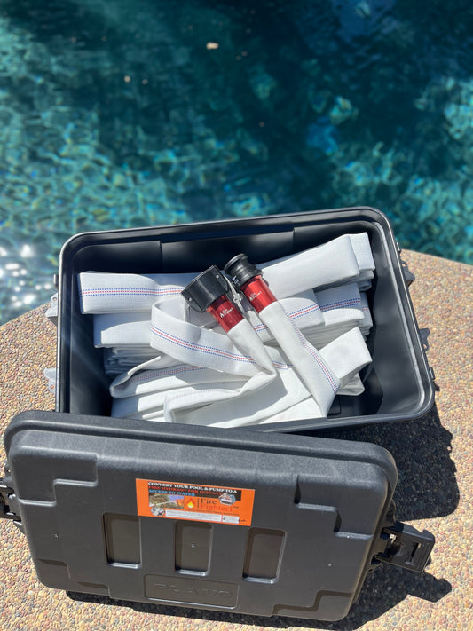
Every FireFighter1™ system now comes with the opportunity to be registered on an exclusive mapping platform designed for fire visibility.
After purchase, homeowners receive access to a registration link, allowing you to submit your property details and confirm installation. Once registered, your system is added to a dedicated Google Map layer & GIS Map Layer, that identifies FireFighter1™-equipped homes.
Homeowners are also encouraged to share this information with their local fire departments, creating a direct line of awareness between property owners and first responders. FireFighter1™ further supports this effort by collaborating with fire agencies to distribute mapping data where applicable.
Participation is simple, but the impact is significant.
With each new registration, the network of accessible water resources grows stronger, creating a more resilient and prepared community.
Already have FireFighter1 ™? Complete Mapping Survey.
Empowering Firefighters with Better Tools and Information.
Firefighters operate under immense pressure, often making split-second decisions in rapidly evolving conditions. Providing them with better data, faster access to water sources and clearer visibility of available tools, directly enhances their ability to protect lives and property.
Imagine arriving at a fire where hydrants are compromised, but within seconds, you can identify multiple nearby pools equipped with FireFighter1™ systems. Instead of searching, you act. Instead of waiting, you engage.
This is the power of mapping.
It transforms uncertainty into strategy and turns passive resources into active defense.
Strengthening Community Fire Resilience.
Fire protection is no longer just the responsibility of fire departments. As fire risks increase, communities must adopt a shared approach to preparedness.
FireFighter1™’s mapping initiative is designed to support this mindset and culture.
By making private water resources visible and accessible, neighborhoods become interconnected defense networks. One property’s preparedness can support another. And a single pool can help slow or stop the spread of fire before it escalates.
This concept of community-driven resilience is critical in today’s fire environment and is a founding rock of FF1. When multiple homes are equipped and mapped, the collective impact multiplies.
Preparedness is no longer isolated, it becomes collaborative.
Turning Awareness Into Action.
Fire awareness is not just about understanding risks; it is about taking meaningful steps to reduce them. Statistics consistently show that early intervention is one of the most important factors in preventing fire escalation.
Having immediate access to water can mean the difference between containing a small ignition and losing an entire structure.
FireFighter1™ provides that access. The new mapping integration ensures it does not go unnoticed.
Together, they create a system where readiness meets visibility, and where individual action contributes to broader safety.
Weekly Fact-Drops:
Did you know that GIS mapping is critical for modern firefighting, with studies showing tech-based navigation aids appearing in training scenarios 26 times to enhance navigation. GIS improves situational awareness by mapping fire hydrants, building layouts, and utility shutoffs, and allows fire departments to analyze 8-minute response time targets 90% of the time.

Data: Mapping Wildfire Resilience With GIS: Perspectives from the ESRI Safety and Security Summit. July, 2025.
Smarter Protection.
Wildfires are evolving. They are faster, more unpredictable, and more destructive than ever before. Meeting this challenge requires more than traditional approaches; it requires innovation, adaptability, and collaboration.
FireFighter1™’s Google Map and GIS integration represents a new standard in fire preparedness. It empowers homeowners, supports firefighters, and strengthens entire communities by turning existing resources into accessible, actionable tools.
You already have the water.
Now, you have the ability to make it count; not just for your home, but for everyone around you.
Because when fire strikes, the most powerful defense is not just what you have; it is how quickly it can be found and used.
.